Forecasters have issued dire warnings for a significant tornado outbreak expected to impact millions of people across the central United States, from Texas to the Dakotas, on Monday. The Storm Prediction Center (SPC) has raised the risk level to "High," the most significant level on its risk scale, which is rarely used, due to the tornado threat in central Oklahoma and southern Kansas.
"We are expecting a serious severe weather outbreak," said Jennifer Thompson, a National Weather Service meteorologist. The SPC warns of "a regional outbreak of severe weather with multiple strong, long-tracked tornadoes, as well as very large hail and severe thunderstorm gusts" over parts of the south-central Plains from Monday afternoon through evening.
The "high risk" warning, which includes the Oklahoma City metro area, is the first such warning since two were issued on March 31, 2023, according to Matthew Elliott, warning coordination meteorologist for the SPC. "We typically average only one or two a year," Elliott noted, emphasizing the severity of the situation.
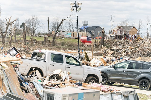
The upcoming outbreak follows a busy April, during which more than 300 tornadoes were reported across the country, and comes just a week after a tornado outbreak killed four people in Oklahoma. The severe weather threat is expected to move east on Tuesday, with cities including Indianapolis, Columbus, Memphis, Nashville, and Cincinnati all at risk for storms, and Wednesday could also bring a more significant storm risk.
Preparations are already underway in the affected areas, with McConnell Air Force Base near Wichita, Kansas, relocating aircraft to remove them from harm's way, according to CNN. Schools across the danger zone are also altering their schedules before the storms hit, with Oklahoma City Public Schools and several metro-area school districts canceling all after-school and evening activities.
The severe storms are the result of a clash between cooler, much drier air from the west and a fast-moving warm, moist air flowing north from the Gulf of Mexico, spreading across much of Texas, Oklahoma, Kansas, and Nebraska. The presence of strong winds well above the surface, associated with a dip in the jet stream, will help trigger severe thunderstorms and give them the energy needed to become supercells, which are thunderstorms that contain persistent, rotating updrafts.
The topic of how climate change is affecting tornadoes is one of active research in the scientific community, with emerging agreement around a few points. Climate change is affecting the atmospheric conditions that give rise to severe thunderstorms, particularly by increasing atmospheric instability. As global air and ocean temperatures increase, the atmosphere can carry more water vapor, which is a key ingredient for giving rise to severe storms. However, wind shear, which is also important for tornado formation, may be decreasing over time.
Some studies suggest that a warming climate can make tornado outbreaks more prolific when instability and shear overlap, but potentially less frequent due to the increasingly rare combination. However, this is not yet agreed to by most of the tornado research community, especially since twisters are small-scale events, making them hard to simulate in computer models.
At least 70 million people are in a "slight risk" or greater threat level for severe weather during the Monday to Wednesday period, according to the SPC. The storm threat will not end at sunset, with the SPC stating, "While the environment during the afternoon will certainly support intense, long-track tornadoes, concern only grows by early evening."